Hiking
Hiking is probably the most beautiful way to discover Engstlenalp. Sbrinz Route, Via Alpina, or the ViaBerna are just some of the many options.
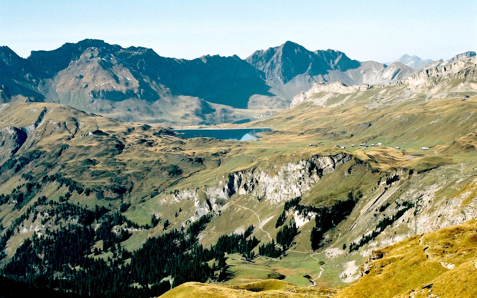
To preserve the natural character and beauty of Lake Engstlen and its surroundings, the area is protected as a nature reserve.
Four Lakes Summit Hike
You can find many hikes as well as a hiking map of the region on hoehenwanderung.ch
Loop Trail: Engstlenalp – Jochpass – Schaftal – Tannalp – Engstlenalp
The marmot hike leads along beautiful mountain paths with stunning views. Along the entire route, you can observe marmots. (Hiking time approx. 4 hrs.) Operating hours and webcams Titlis Cableways
Engelberg – Jochpass – Engstlenalp
On this popular route, you can switch to gondolas or chairlifts at any time and shorten the hiking duration as you wish. (Hiking time approx. 5 hrs.) Operating hours and webcams Titlis Cableways
Melchsee-Frutt – Tannalp – Engstlenalp
You walk along Lake Melchsee and Lake Tannen or take a detour via Bonistock or Balmeregghorn with magnificent views. (Hiking time approx. 2 hrs.) Operating hours and webcams Melchsee-Frutt Cableways
Planplatten – Balmeregghorn – Tannalp – Engstlenalp
A beautiful ridge hike with splendid views of the surrounding mountain ranges. (Hiking time approx. 4 hrs.) Operating hours and webcams Meiringen-Hasliberg Cableways
Hasliberg-Reuti – Baumgartenalp – Engstlenalp
An attractive trail with a gentle incline and beautiful alpine flowers lining the way. (Hiking time approx. 4 hrs.) Operating hours and webcams Meiringen-Hasliberg Cableways
Gadmen – Tällihütte – Sätteli – Engstlenalp
A partly steep and rocky trail with beautiful views of the surrounding mountains, valleys, and the Trift glacier basin. (Hiking time approx. 5 hrs.) Tällibahn operating hours and Tällihütte
Schwarzental – Engstlenalp
The old mule track is a short and scenic route away from the road. It’s ideal if you arrive late and still want to stretch your legs. (Hiking time approx. 1.5 hrs.)